

Sol Duc Falls in Olympic National Park is absolutely breathtaking! Copyright (c) 2012 Wendee Holtcamp
The last weekend Sam and I were in the Pacific Northwest, I took him to Olympic National Park. As I've said before, it's my favorite national park - it's so incredibly gorgeous and unique. But I also had to do some additional reporting and photography of the Elwha River for a second story I'm doing. My first story came out in Nature a couple weeks ago - Fish Return to Undammed Elwha River - and I have a feature due in a couple months. I also will be posting a slideshow and maybe doing a podcast for my Wendee Holtcamp Report at Adventures in Climate Change. I had so many technological difficulties on this month away from home, I have gotten really behind on a lot of things. So it took me a couple days to even get groceries in my fridge. I had a deadline on some edits immediately after I got home, I have another story due Monday, and I had to spend some time with my daughter, of course! I am also getting caught up on my two online writing classes I'm teaching simultaneously (note to self: teaching two classes at once is not advised in the future) :)
Sam and I drove up to Washington's Olympic peninsula on Saturday morning after I had a great evening out on my birthday having a couple drinks at Random Order with my friends Kelli and Orna. Orna gave me a box of amazing Missionary Chocolates (vegan and the proceeds go to a good cause - and they are not only beautiful but absolutely delicious!) I will post a separate post about my birthday and other aspects of my trip soon but I want to keep this focused on Olympic National Park. Without further adieu, here are my photos from the trip, divided up by the location. I would make all the images the larger size but unfortunately the blog isn't wide enough, and it cuts them off! I am going to see if I can work on this...
Hurricane Ridge

It takes about 4 hours and some change to drive from Portland to Port Angeles on the north part of the Olympic peninsula, our home base for the trip. I took Sam to the Hurricane Ridge Visitor Center, which I hadn't been to in many years. Dad said we went there when we traveled there 20 years ago, but I don't remember that part! It was very different from other parts of the park, but this park is so diverse, with beach, temperate rainforest and alpine habitat that you never run out of options! At any rate, this is one of the most visited parts of the park. We took the drive and then did a short hike from there. This is the alpine view from the Hurricane Ridge Visitor Center.

Another view from the visitor center.


But first we had to cross over the ice field of doom. Sam got pegged by a snowball from a young girl.

There were many wildflowers out in bloom, including these avalanche lilies.


Sam named this deer Fluffy. We saw many black-tailed deer out there at Hurricane Ridge! We never did see any elk. Sam reallllly wanted to go fishing or crabbing and we got some information from the folks at the visitor center, but we didn't really plan for that so didn't have a fishing pole or crabbing gear, and licenses for even a day are pretty pricey. So I told him he'd have to just come back another time!
Sol Duc

On Sunday morning, we ate breakfast at The Haven, a little dive recommended by a friend of mine. Then we headed over to the Sol Duc area for a hike to Sol Duc Falls. But first, we stopped at the Salmon Cascades demonstration because I stopped there last time with Terri and it was pretty cool! Apparently at certain times of year you can see salmon jumping here pretty easily. I didn't see any though.

The"hugging trees"!

So we arrived at the trailhead to the Sol Duc falls, and I forced Sam to change from flip flops into his tennis shoes. It was only 0.8 miles each way, but I didn't know the trail conditions. We saw this nurse log on the trail. A nurse log is one that dies and many other plants or trees start to grow out of it. Sam himself noticed it! And I took a picture.

A little stream on the trail to the falls. This one was taken by my phone! Not bad for a phone pic.

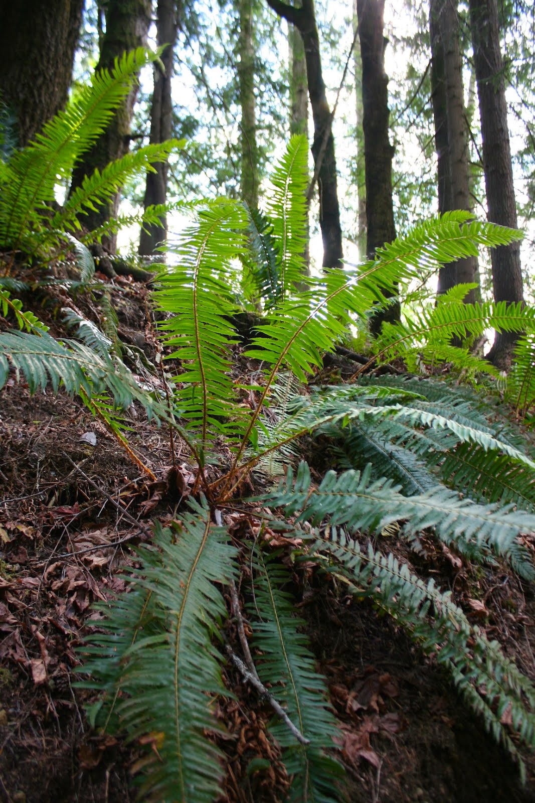
Coastal temperate rainforest. Isn't it gorgeous?!

Another view of the falls. I just love the mossy rocks in this park!

Another view of the falls.

The Sol Duc Falls


Sam played on the rocks for a while and I just sat and enjoyed the scenery and the sounds (When I wasn't trying to sneak a photo of him! He's quick!)

Elwha River/Humes Ranch Trail

In the afternoon, we went on another hike with a friend. This time we went to Humes Ranch loop trail. This is a shot of the clouds across the canyon on part of the trail. Pretty cool! Reminded me of an image I shot of the Amazon rainforest in Peru. We walked along and then took a detour that was really steep and went down to the riverbed. It was then that I realized Sam had changed *out* of his tennis shoes and back into his flip flops. Sigh. And this was when he really needed some sort of hiking shoe! Boys!

A view of the Elwha River through trees. This is upstream of where the Glines Canyon dam is (or was - it is partially removed at this point) The Glines canyon dam is the upper dam and is the one still actively being removed, whereas the Elwha dam is already totally gone. See my last blog post from a month ago - Elwha dam removal - for photos of the two dam sites!


A giant pock-marked rock on the Elwha River, a slightly different spot than above. We walked along the stream for a while and then took a different trail back up. It was a good thing because it wasn't near as steep!


And double bonus: We got to see the Goblin's Gate! This is one of the narrowest parts of the Elwha.

"Inside" the Goblin's Gate. I climbed down to get closer, and the boys followed.

We saw a ruffed grouse on the trail too. Sam was excited to see some wildlife. I was a bit disappointed we didn't see more, myself, because I love wildlife! We did see a couple chipmunks and Douglas squirrels.

And finally, the Hume's Ranch cabin! At the end of the hike, Sam was parched. Not only had he worn flip flops, we hadn't brought any water... oops. It was a pretty good hike too. We got back and drank some water, and then had a nice dinner!
Elwha River Mouth

Monday morning, before we headed back to my dad's, we visited the mouth of the Elwha River, where you can see the muddy plume caused by sediment coming down the river and out into the Strait of Juan de Fuca. We accessed this from the Lower Elwha Tribe Reservation.

This is an estuary just inland of the river mouth which is very important to young fish. It is also the part that is mostly or partly blocked by sediment from the dam removal, as I mentioned in my Nature piece.

The beach on the Lower Elwha Tribe's reservation near the mouth of the Elwha River, looking back towards the mountains. Breathtaking!

Driftwood has accumulated here that has come downstream since the dams have been removed.

Another shot of the driftwood released after the dams came out washed downstream.

Rocks on the beach.

A shot of the muddy plume. The other water is much more blue.

A surfer walks along the beach near the Elwha River mouth. I LOVE this image! It was an opportunistic moment. It looks really cool in a larger size. Click on it!

Talk to the Hand!
And just for fun, a series of images of my darling son and his hand! He so loves having his photo taken! :) I thought it was funny looking through all my pics and seeing "the hand"!


The first night we stayed at the Quality Inn in town, and the next night, we stayed as guests at the Inn at Rooster Hill B&B. We stayed in the Lauren Room and it was great! This was my bed. It had a kitchenette in a separate area, plus ....

These totally cool cubbies! Sam slept in here. There was another one on the other side that was like Alice in Wonderland with a bigger but small door and then a smaller one inside, and then a little tiny room in there. Great for kids. It's great because it's just a mile from the central part of town but it's on 2 and a half acres so it feels like it's in the middle of nowhere. The best of both worlds!